The County Diagnostic: A Regional Environmental Footprint Framework for the USA
Bryce T. Lawrence, Research Scientist / Educator
TU Dortmund, Department of Spatial Planning, Research Group Landscape Ecology and Landscape Planning
Abstract
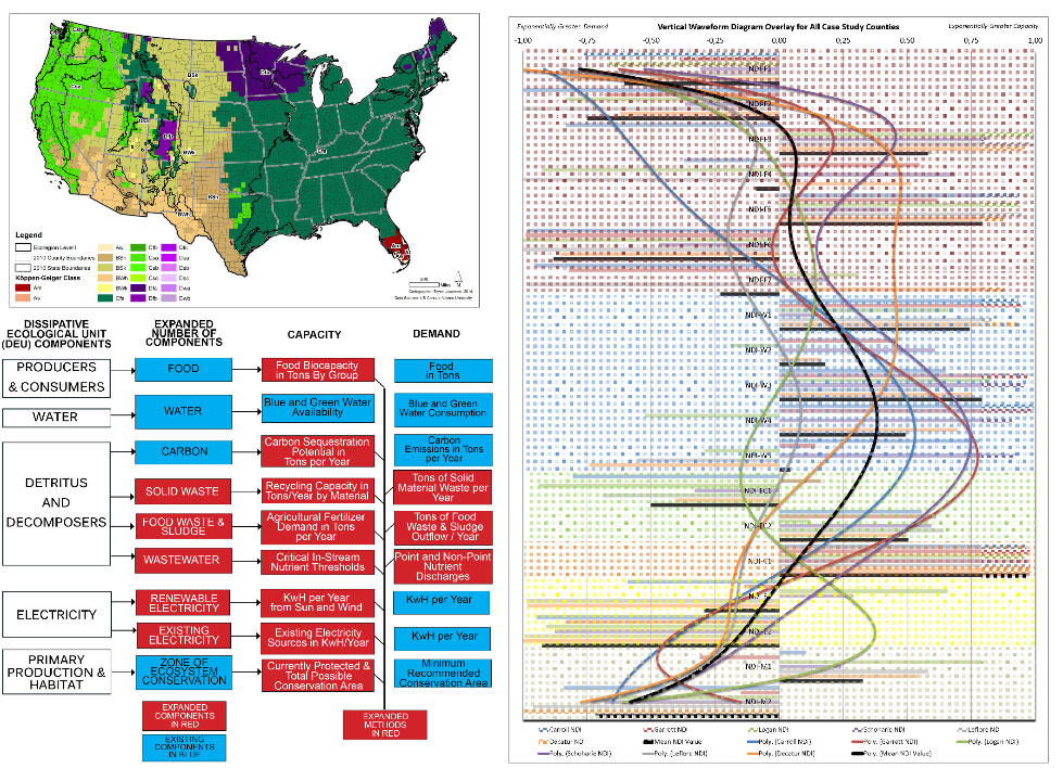
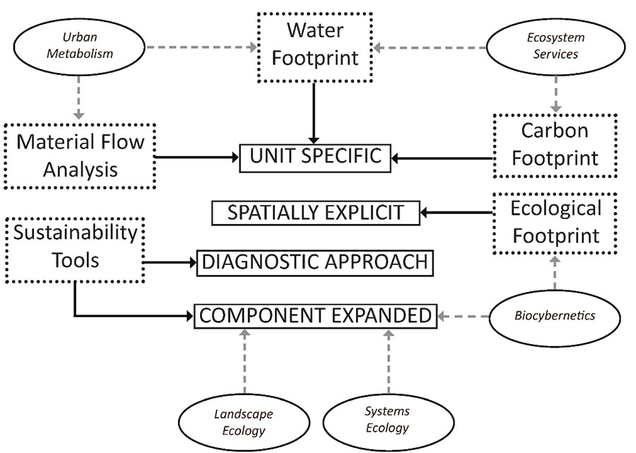
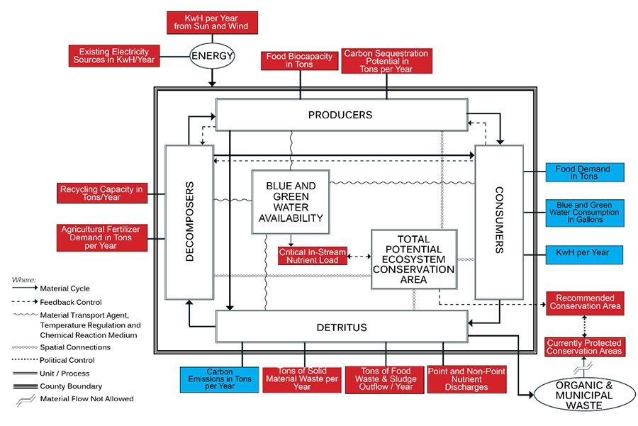
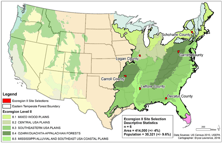
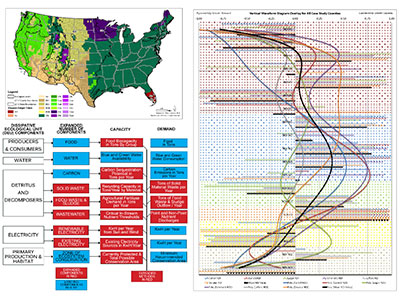
The county diagnostic method is a spatially explicit, unit specific, component expanded regional environmental footprint framework for the USA developed to compare the influence of ecoregions on poly-factorial environmental footprints (Lawrence, 2020). This ‘diagnostic assessment’ quantifies and compares the flows of food, water, energy, carbon, municipal solid waste, wastewater and spatial extent of ecosystem conservation on a county basis using openly available data and models under the concept framework of the dissipative ecological unit (Ripl and Hildmann, 2000). The county diagnostic fills the gap in regional environmental planning in the USA by bridging urban and state level planning in spatially contiguous unit. The method is relevant in addressing climate change because it allows users to project different climate change scenarios, such as those modeled by Rubel and Kottek (2010), and estimate how the environmental footprint of human and animal populations will change when resource availability or climate forcings in a county change. This poster presents the theoretical and methodological basis of the county diagnostic and the results of a six county ecoregion level II comparative application of the method in the Eastern Temperate Forest ecoregion, one of the most densely populated regions of the USA.